
Next-Generation Edge AI &
3D Road Surface Telemetry
Pavesight combines custom vehicle-integrated tensor AI with cm precision 3D optical depth measurement to deliver real-time road insights with 100% GDPR compliance.
End-to-End Smart City AI Pipeline
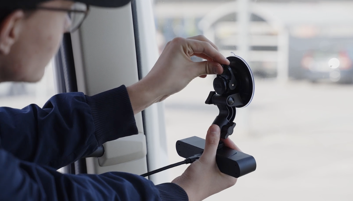
High-Resolution 3D Optical Array
Hardware Synchronized Dual Cameras
Enterprise Tech Specifications
Purpose-built for municipal vehicle mounts, extreme temperature resilience (-40°C to +85°C), and 120 FPS real-time scanning.
On-Device AI Processing
Runs fully offline on city vehicle hardware. No raw video feed leaves the unit, guaranteeing 100% GDPR compliance and zero privacy leakage.
- Privacy Standard: 100% GDPR Compliant
- Inference Time: 1.8 ms
- Frame Rate: 120 FPS
cm-Precise Measurements
World's first 3D depth visualization calculating precise measurements including depth, width, surface area, and asphalt volume of potholes.
- Depth Precision: cm precision
- Metrics Calculated: Depth, Width, Vol
- Crack Analysis: Comprehensive
Bära eller brista & Zero-Field Dispatch
Measures "Bära eller brista" road structural health and syncs color-coded spatial maps directly to municipal GIS databases for 1-click repair orders.
- Surface Metric: Bära eller brista
- GIS Mapping: SWEREF99 / WGS84
- Dispatch: Zero-Field Remote Order